The Principality of Liechtenstein is one of Europes smallest countries, yet one of the riches countries in the world. Its alpine position makes it a popular destination for winter-sport lovers, but also for those that enjoy mountainous hiking in the warmer months.
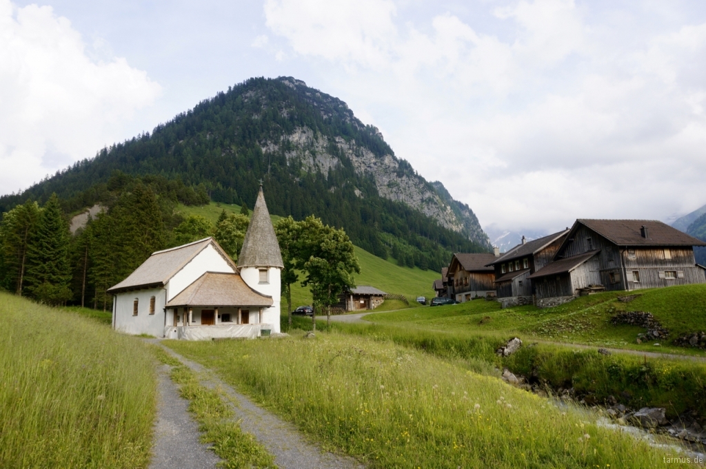
Idyllic mountain chapel, Steg
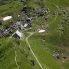
In July 2016 we went on a short vacation to Steg, a village between Triesenberg and the skiing resort Malbun. The village lies at an altitude of 1312 m, and has a pittoresque mountain chapel that dates to the early 18th century.
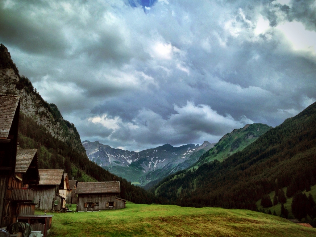
Gloomy weather, Steg, Liechtenstein
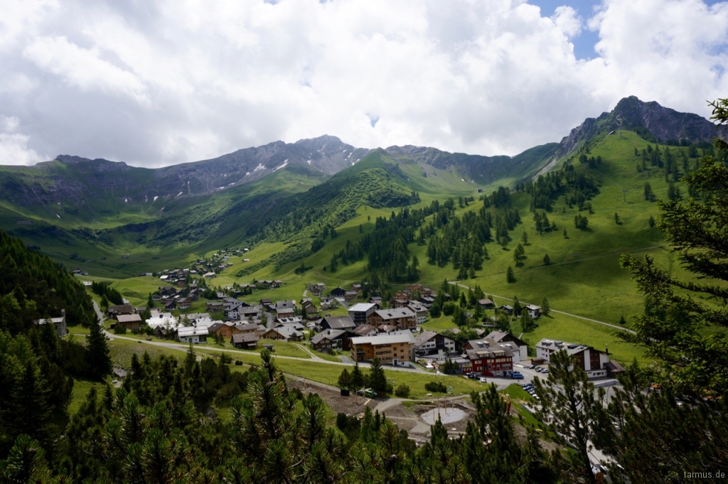
Malbun, Liechtenstein
Malbun and Steg are great starting points for several hiking tours and we decided to give three of them a try:
- Hiking to Schönberg (2104 m)
- Hiking Princess Gina Trail via Augstenberg (2359 m)
- Hiking along the Valünerbach
For the orientation in this area we recommend the following websites:
| Website | Description |
|---|---|
| tourismus.li | Official information about tourism and hiking in Liechtenstein |
| wanderland.ch | Hiking in Switzerland, routes, maps, descriptions |
| liemobil.li | Public transport in Liechtenstein, maps, timetables, prices |
| geo.admin.ch | Topographic maps of Switzerland (incl. Liechtenstein), hiking trails, PDF print |
| geodaten.llv.li | Topographic maps of Liechtenstein, hiking trails, GPS tracks, PDF print |
Tour 1: Hiking to Schönberg (2104 m)
With the bus 21 from Vaduz, over Triesenberg and Steg, it is easy to acces Malbun. From there, one can choose from many hiking paths and they are well-signed.
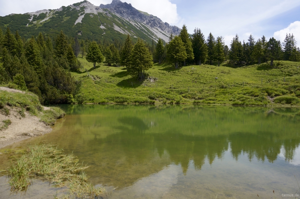
Little pond Sass (Sass-Seelein)
The tour to Schönberg is pretty easy, with beautiful views of the Liechtenstein mountains. We hardly met anyone during our hike and felt pretty much surrounded by the greatness of the nature. One part of the trail is to be hiked with caution: under the Stachlerkopf rocks the trail is stony, narrow and partly secured with ropes that one can hold on to.
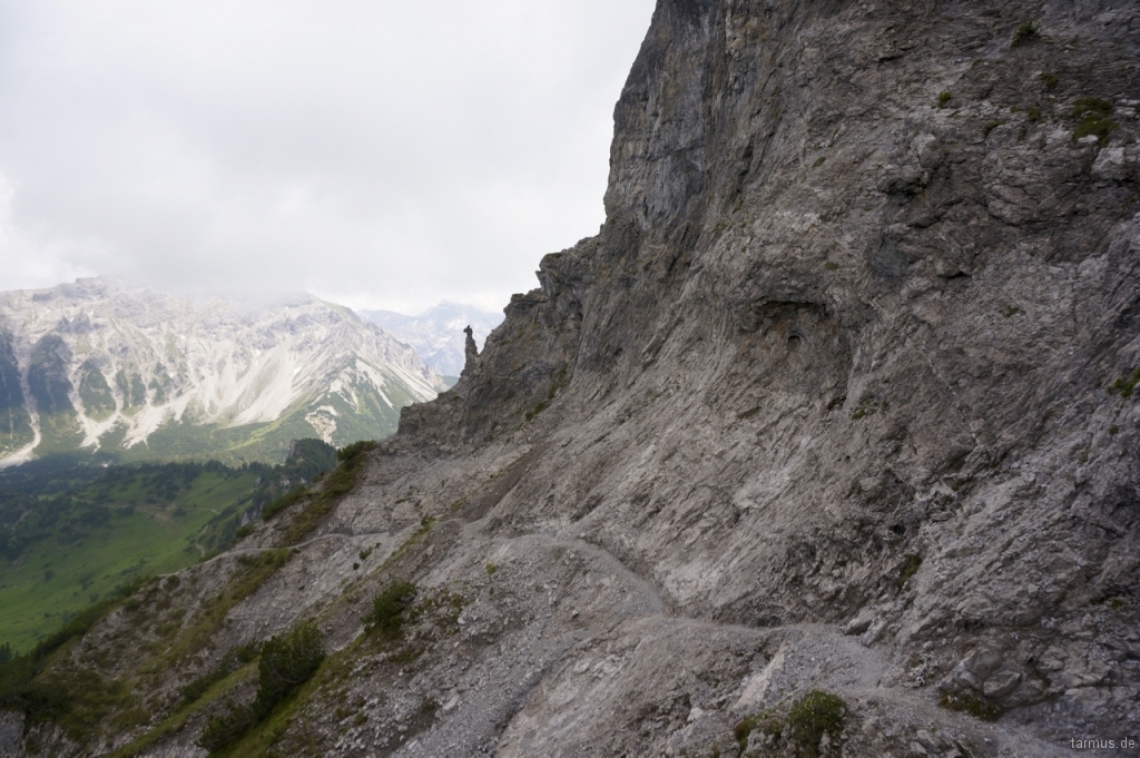
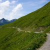
Hiking path below Stachlerkopf
The top of Schönberg is marked by a cross and lies on 2104 m.a.s.l. Our descent went over Bergle (1718m) to Steg. Towards Bergle the trail is easy- hiked but we surly did have an experience that slowed us down. Half way down, we met a herd of cows that were grazing and relaxing on the trail. There were several calves in the group, which can be dangerous if the cows feel threatened. We had to pass them somehow, there were no alternatives, so we started going downhills on a place where there was no trail. It was very, very steep, the cows were mooing and it was overall an unpleasant experience. Somehow, we got back the trail again and soon we came to the Bergle hut where we had a quick break.

View from Schönberg towards Malbun
The path continues down steep and winding for approximately 45 minutes, until you finally hit the main road for cars. From there, we crossed the bridge and followed the street 1-2 km back to Steg.
Max elevation: 2088 m
Min elevation: 1321 m
Total climbing: 935 m
Total descent: -1235 m
Tour 2: Hiking Princess Gina Trail via Augstenberg (2359 m)
This trail is named after the very loved Princess Gina of Lichtenstein, who died in 1989. She is the mother of todays ruling Prince Hans-Adam II.
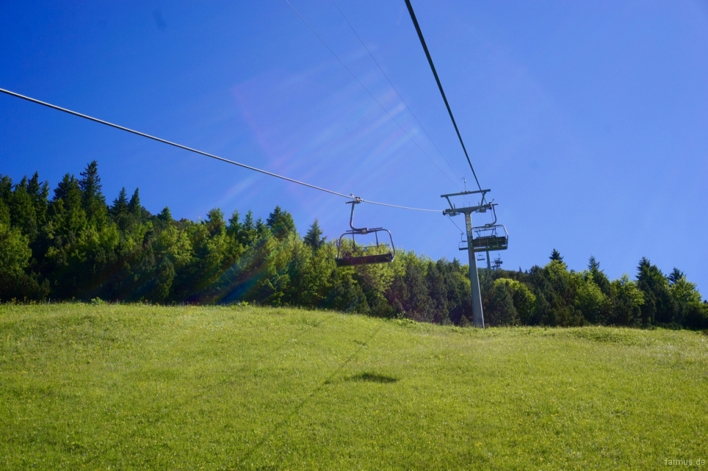
The Sareis chairlift in Malbun
We headed up 400m to Sareis (2003 m.a.s.l) with the chairlift from Malbun. You could also choose to hike up to Sereis, but we wanted to save some time and at the same time, enjoy the ride and the views up. At Sarais, there is a restaurant where many stay the whole day just for the spectacular alpine atmosphere. We took some photos and headed on along the trail.
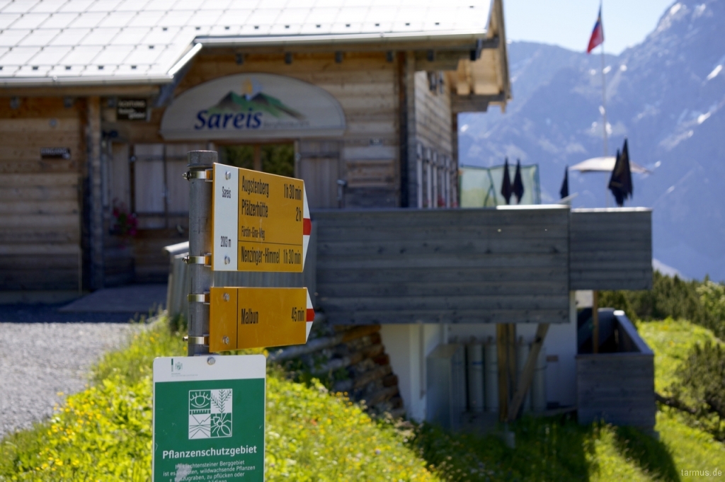
Mountain restaurant at Sareis
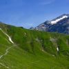
The first part goes along the mountain ridge on easy-walked roads towards Sareiserjoch. After that, the trail gets a bit more demanding, leading uphill between mountain faces and beautiful flowers of all kind, to the highest point, the Augstenberg (2359 m). From here, it feels like one can see every peak of the Alps and it is the perfect spot for a break.

View from Augstenberg in Liechtenstein
We then continued towards the Pfälzer Hütte, which is a guest house with restaurant and accommodation possibilities belonging to the Liechtenstein Alpine Club. The trail to the hut is at some parts hard and steep, but at the hut one can take a well deserved coffe break (we surely can recommend the apple pie).
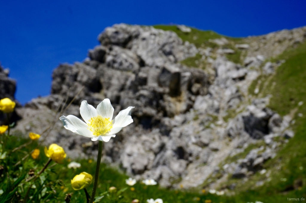
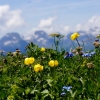
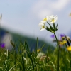
Flower in the Alps
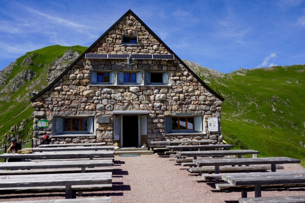
Pfälzerhütte in Liechtenstein
Just underneath the Pfälzer Hütte, a broad road leads towards Alp Gritsch and then the hiking trails continues upwards, ending with a descent towards Malbun.
Max elevation: 2356 m
Min elevation: 1604 m
Total climbing: 1179 m
Total descent: -1181 m
Tour 3: Hiking along the Valünerbach
On the third and last day, we enjoyed a stroll along the Valünerbach stream, that runs trough the valley from Steg to Valüna. The trail begins with the Stausee lake in Steg and is very comfortable to walk, even with a baby stroller. At the end of the trail, there is a hut with restaurant where you can take a break and enjoy the view on the surrounding mountain-chains.
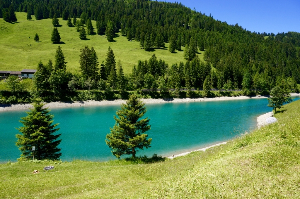
Crystal-clear Stausee lake
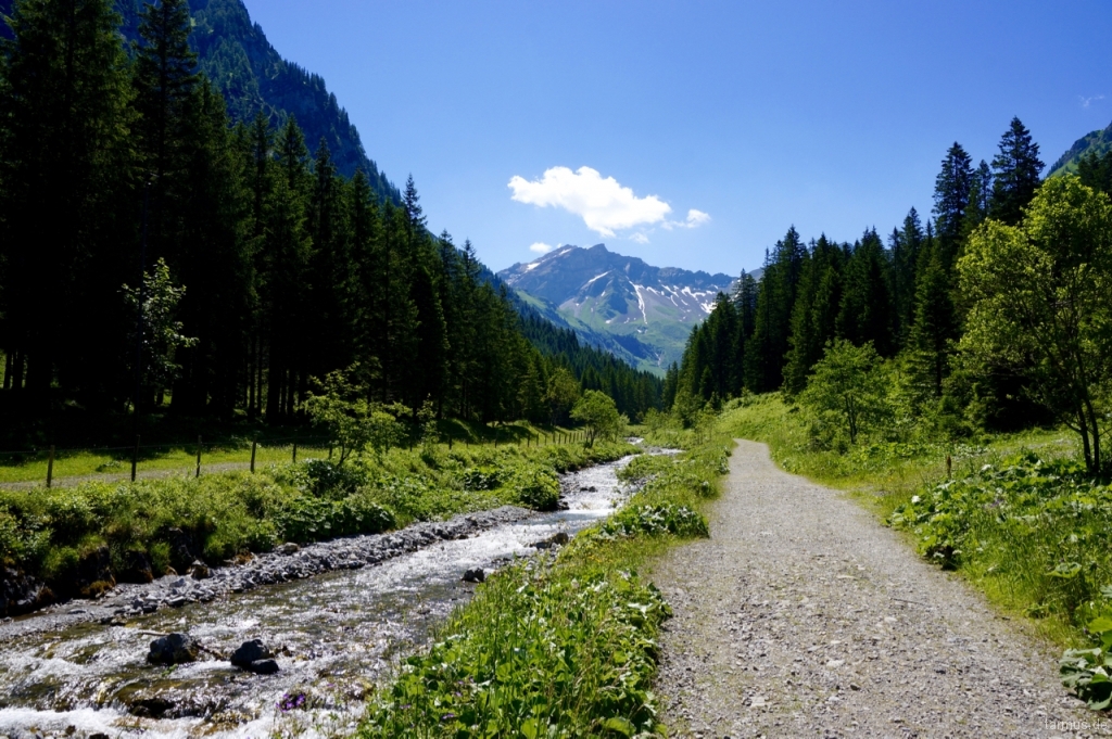
Valünerbach (stream)
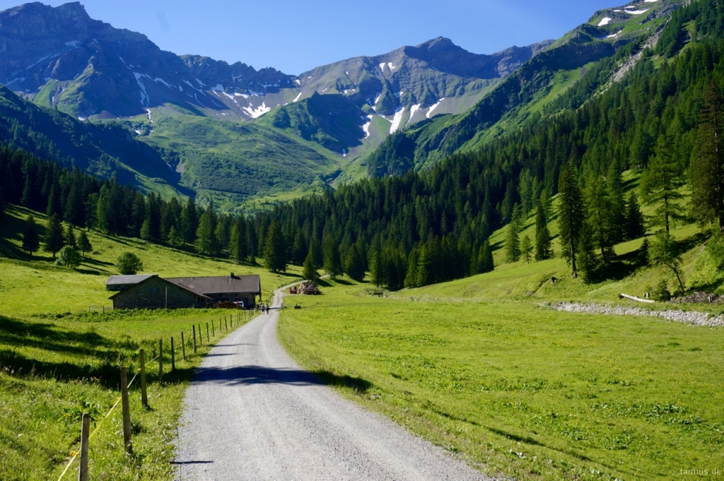
Valüna hut
Max elevation: 1487 m
Min elevation: 1249 m
Total climbing: 591 m
Total descent: -521 m
Impressions (Pictures, Video)
Video: Hiking in Liechtenstein, by Merisa & Tarik
Song in video: Deep Into Soul – Electronic Lounge Track, by Alexander Blu
